
Project closeout
As-builts are required.
Survey-grade records show exactly where every new line was installed.
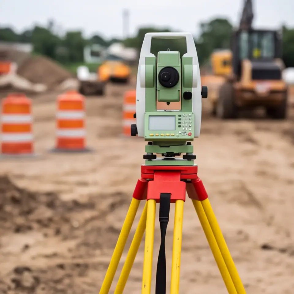
A utility you cannot find later is a liability. As-built records show where each new pipe, conduit and structure sits, how deep it is and what it is made of. They are needed for inspection, for closeout and for every future digger.
We record depths and positions during installation before the trench closes, tie them to survey points and produce clean drawings or digital files for the owner, engineer and utility. Photos of key points are included. If the plan changed in the field, the record shows how.
As-builts are required.
Future crews will need them.
The record must match reality.
Records are part of acceptance.
Reference points.
Depth, position and material.
Visual proof.
Clean documents.
Owner, engineer and utility.
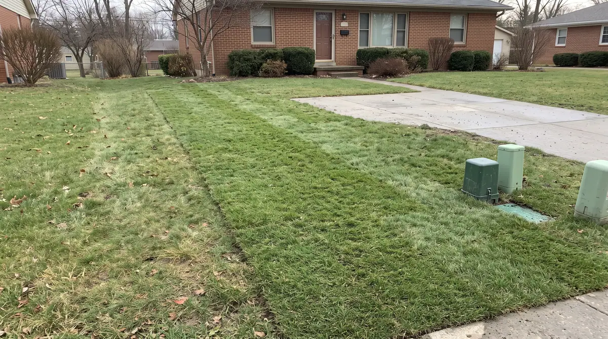
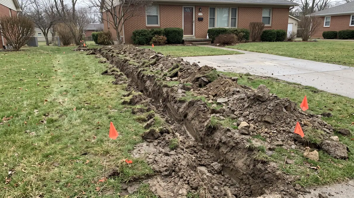
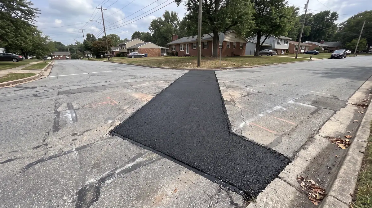
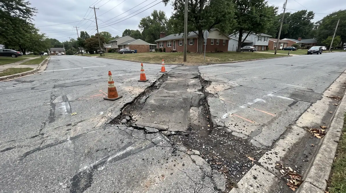
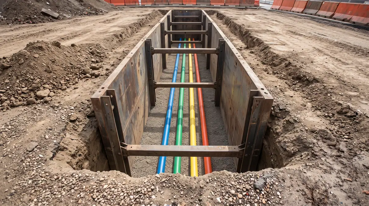
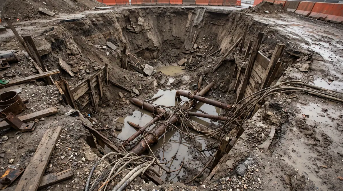
No mystery lines.
Accepted records.
Future crews can see.
Backup for the file.
Once the trench closes, positions are hidden.
Drawings and digital files, as the project needs.
Yes, with total stations and GPS.
Yes, with locating and potholing.
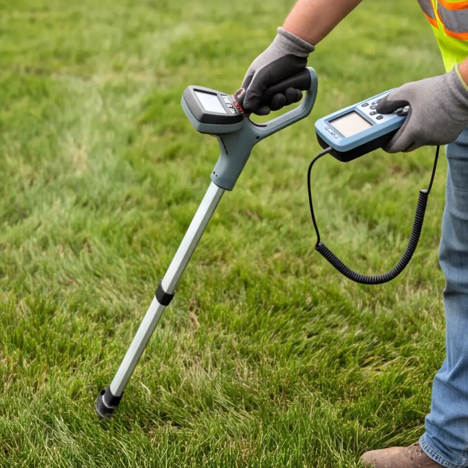 Utility LocatingElectromagnetic locating and paint marks show where buried lines run before anyone digs.Explore
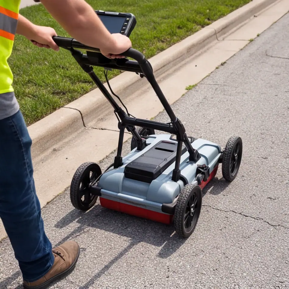 Ground Penetrating Radar ScanningRadar carts see pipes, tanks, voids and rebar under pavement and concrete.Explore Commercial Site UtilitiesWater, sewer, storm, gas, power and telecom installed as one coordinated package for commer…Explore
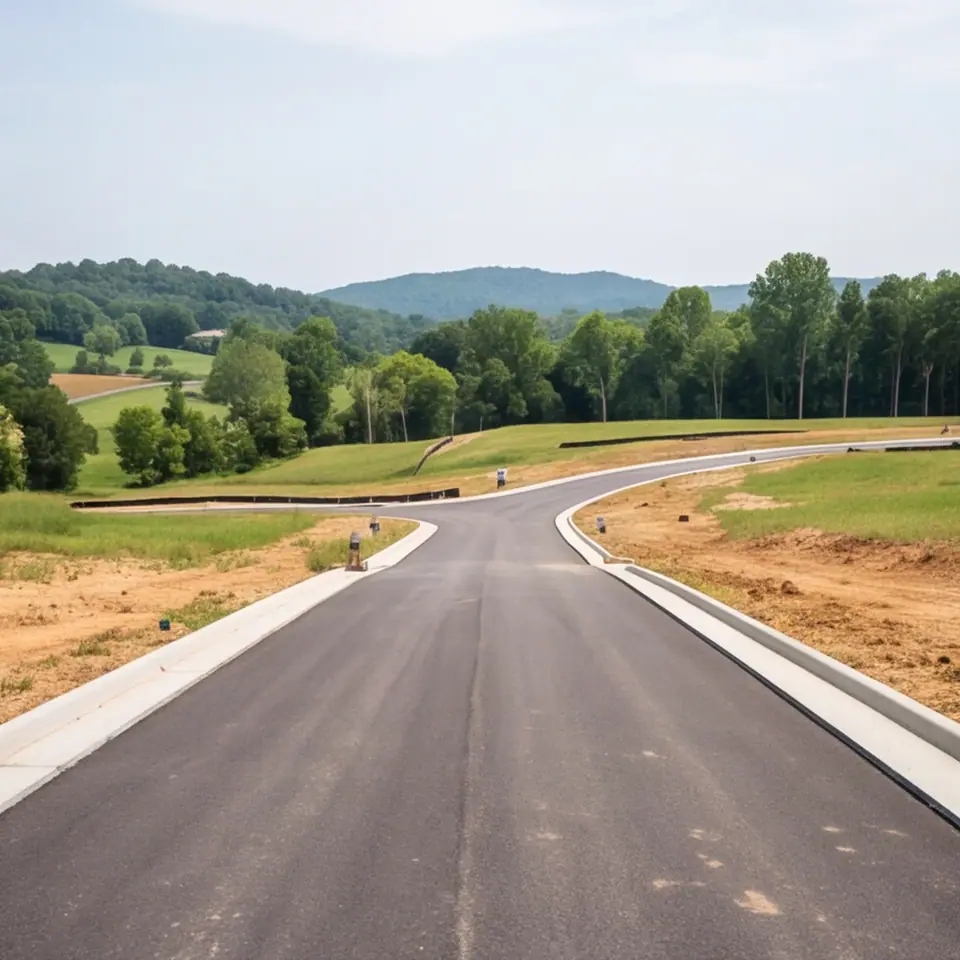 Subdivision UtilitiesStreets of water, sewer, storm, gas, electric and fiber built for new neighborhoods.Explore
Tell us what you are building or fixing. We will walk the route, locate what is already there and give you a written plan with a Free Estimate and no pressure.